
Anyone know of a good online lake contour map program?
-
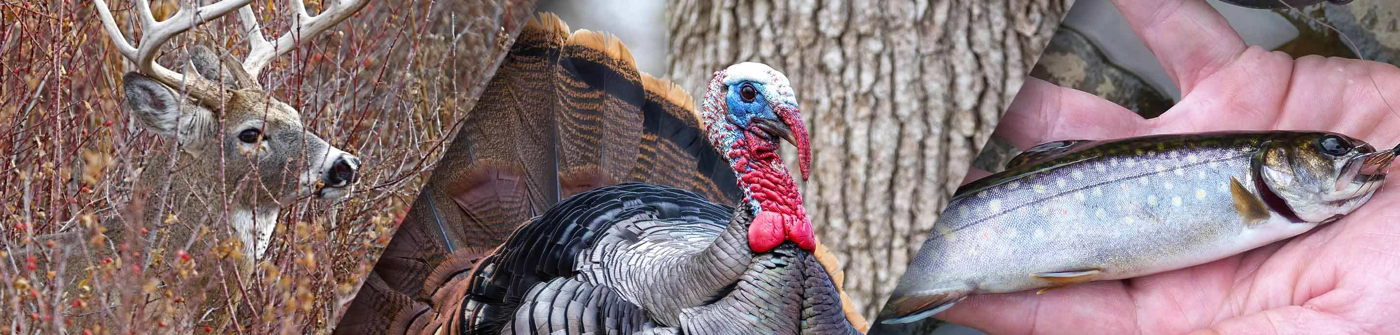
From treestands to ground blinds, all your hunting must-haves can be found at Bass Pro Shops. Shop Now.
blood trail

 NICE!! Jewell Lake in Barton City as having a ramp where there is a creek inlet. Not anywhere near the true, one and only, ramp.
-
?
-
?
-
?
-
?
-
?
-
?
-
?
-
?
-
?
-
?
-
?
-
?
-
?
-
?
-
?
-
?
-
?
-
?
-
?
-
?


