
I'm planning on fishing the river this year for the first time in my own boat. I'll be putting in at Wyandotte and probably sticking pretty close to there until I learn the river a bit more. Can I rely on my electronics to point out shallow water and hazards? I'd prefer not to learn the hard way with my new boat - done that in the past in my younger days.
![Image]()
-
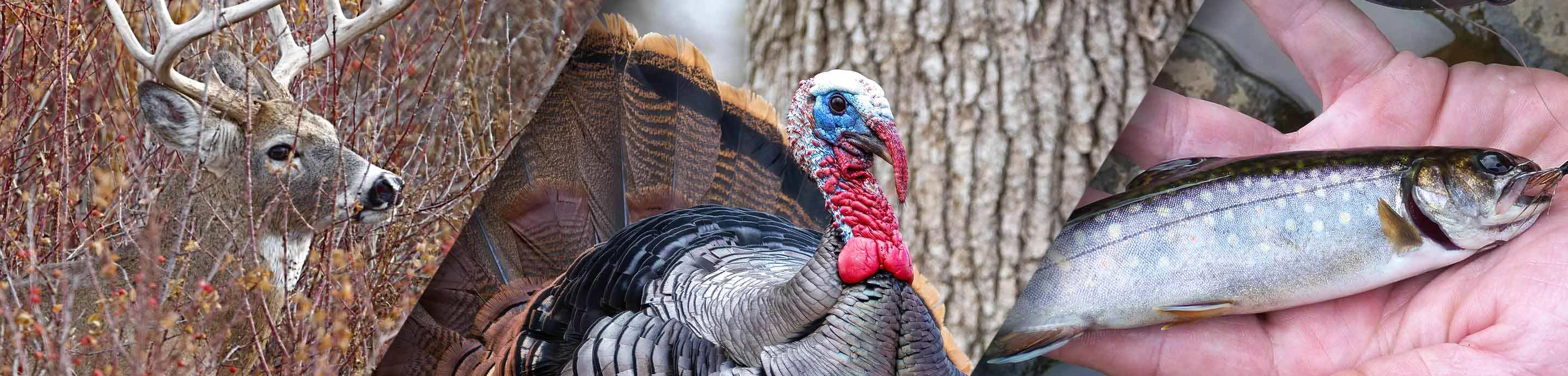
From treestands to ground blinds, all your hunting must-haves can be found at Bass Pro Shops. Shop Now.
NonTypicalCPA

-
?
-
?
-
?
-
?
-
?
-
?
-
?
-
?
-
?
-
?
-
?
-
?
-
?
-
?
-
?
-
?
-
?
-
?
-
?
-
?


